Many Views of O'ahu
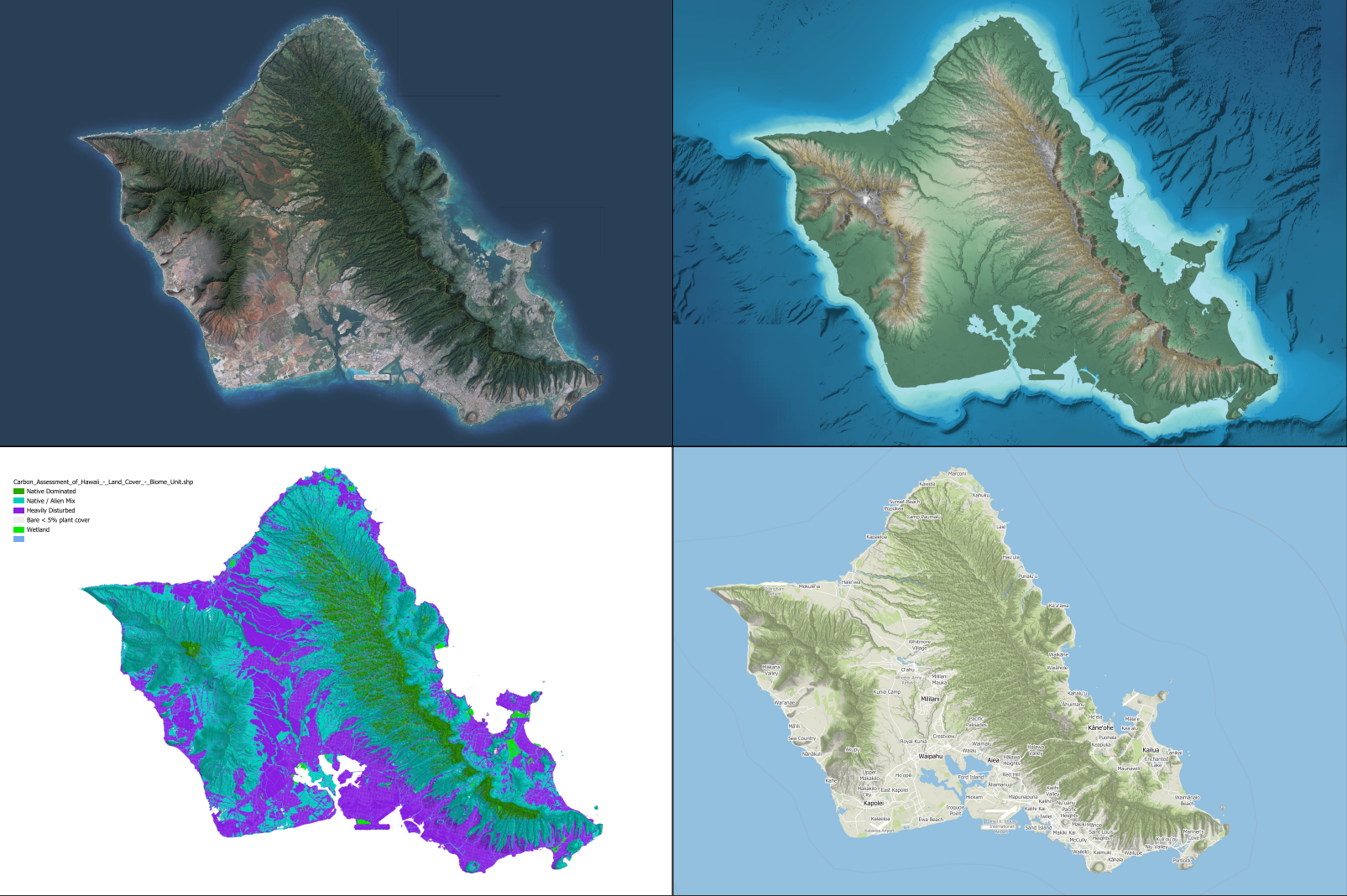
This was a quasi-commission for a friend of mine whose family has a home on O'ahu. After poking around datasets, I proposed several options, which I combined into one 4-framed map

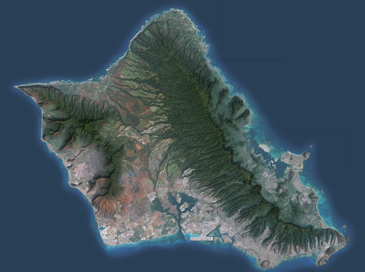
Particularly, the imagery quadrant turned out beautifully. I had been playing around with the Imhof techniques that had been circulating the GIS communities recently. For those not familiar, the basics are including imagery, hillshades, and a "mist" layer to achieve something similar to the work of the late great Eduard Imhof.

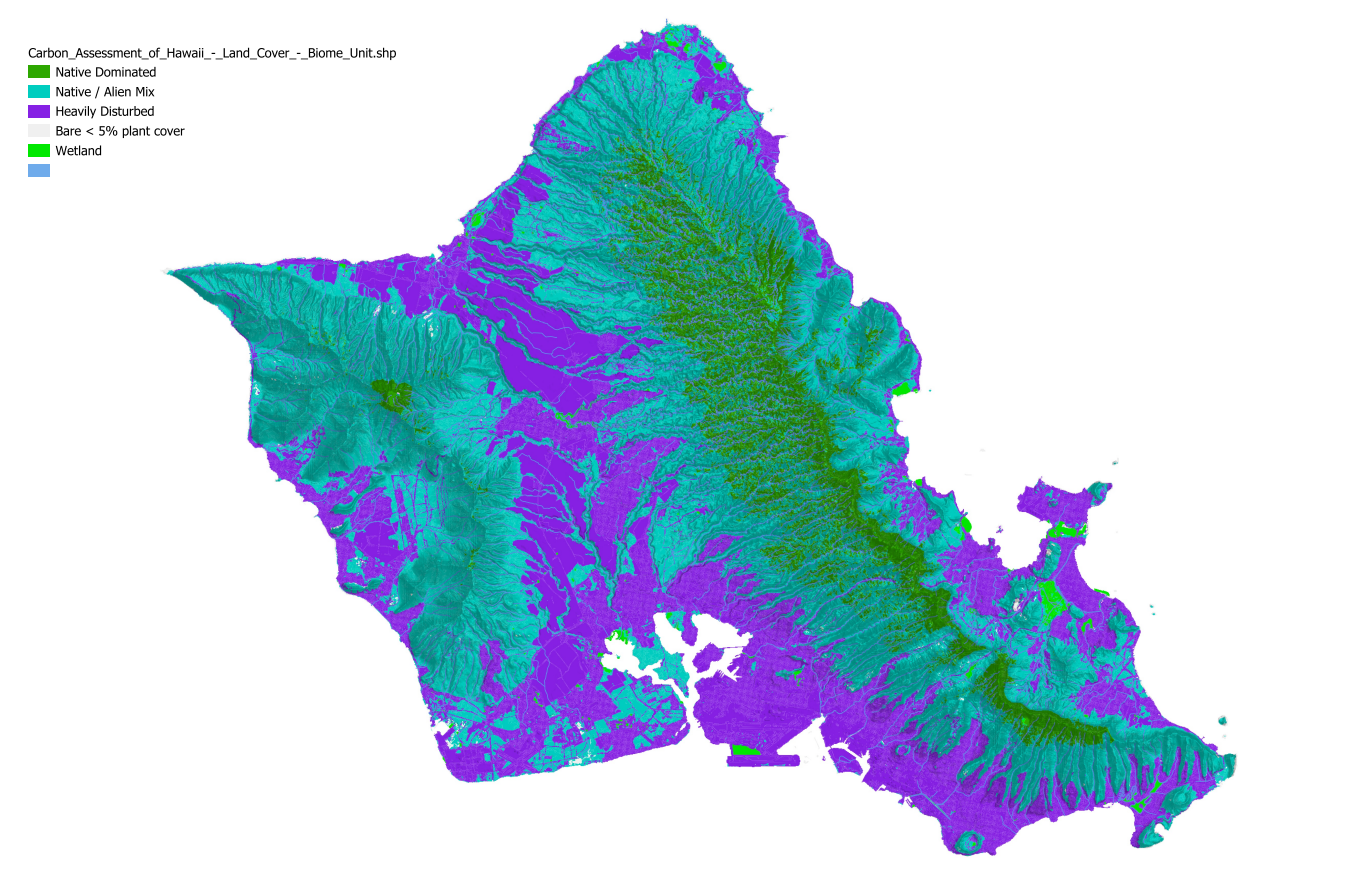
Having visited O'ahu, I couldn't help but look into the vegetation data of the island. There is a lot, and it would take a dozen maps to due them justice. I included this simple version for consideration, which shows generally where native and invasive species reside.

