Mars
I am a huge sci-fi geek, and one of the staples is terraforming other worlds. This is most often Mars, our closest opportunity for doing so. Mars had a liquid ocean billions of years ago, but has since dried up.
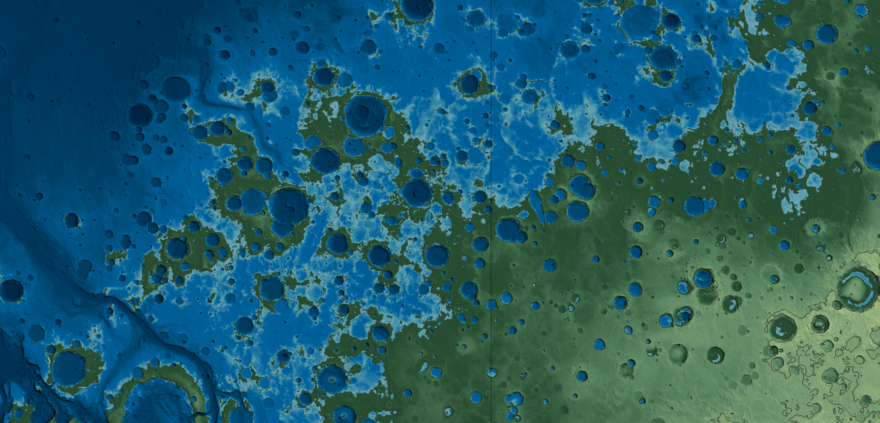
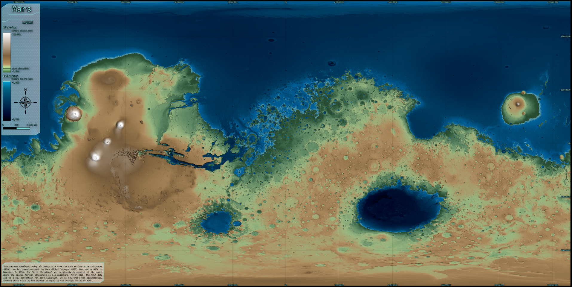
I did this in the most simple way, by picking an elevation to fill water to and coloring everything in accordingly. In grad school I did a similar project but in a more robust way, calculating how much water would be needed, where it would likely collect, etc.
But how does one choose where to fill to? Mars actually has a "zero elevation" which I've included in this map. This is the conventionally agreed upon point, and chosen at the 610 mb line, where water exists at the "triple point". I've included this line in the map itself, but didn't use it for my "sea level". Mainly because it didn't look as nice. I wanted to include a lot of the complex terrain, which I found to be enjoyable back when I was playing games such as Per Aspera and working on the Mars Universalis mod for EU4.

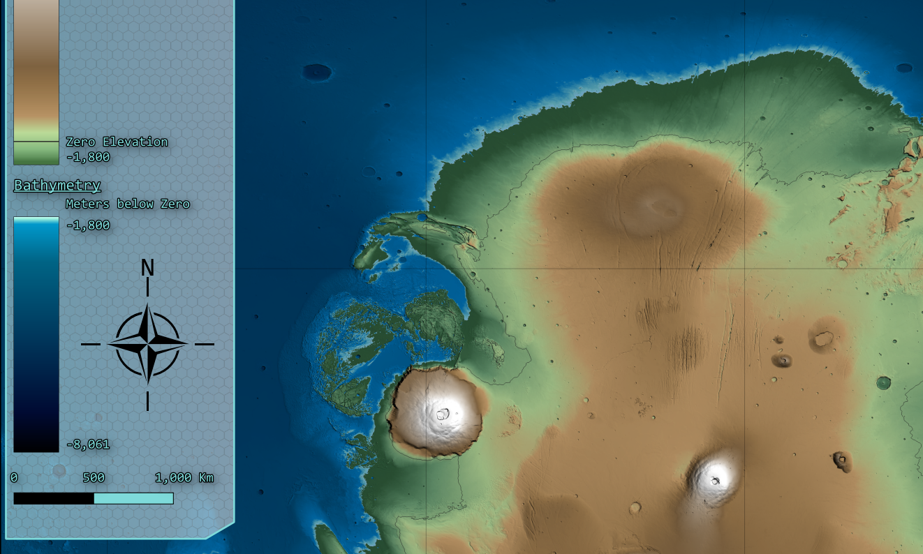
For the color ramps, I went with a bathymetry color ramp I had developed for my working global map that accentuates the littoral zone, while still making deeper areas visible. I went with a classic "green lowlands to brown highlands to white mountains" but with a martian twist. The darker greens of the lowlands suggest lush plant life, which transitions to a more lichen-adjacent color for the uplands. The browns were directly sampled from Martian imagery taken by the Viking and MRO missions. And, of course, a snowcapped Olympus Mons.

On top of all of that, I made my own "sci-fi" looking legend box. I'm quite happy with the result, which is templated for various poster sizes.
The Final Product

