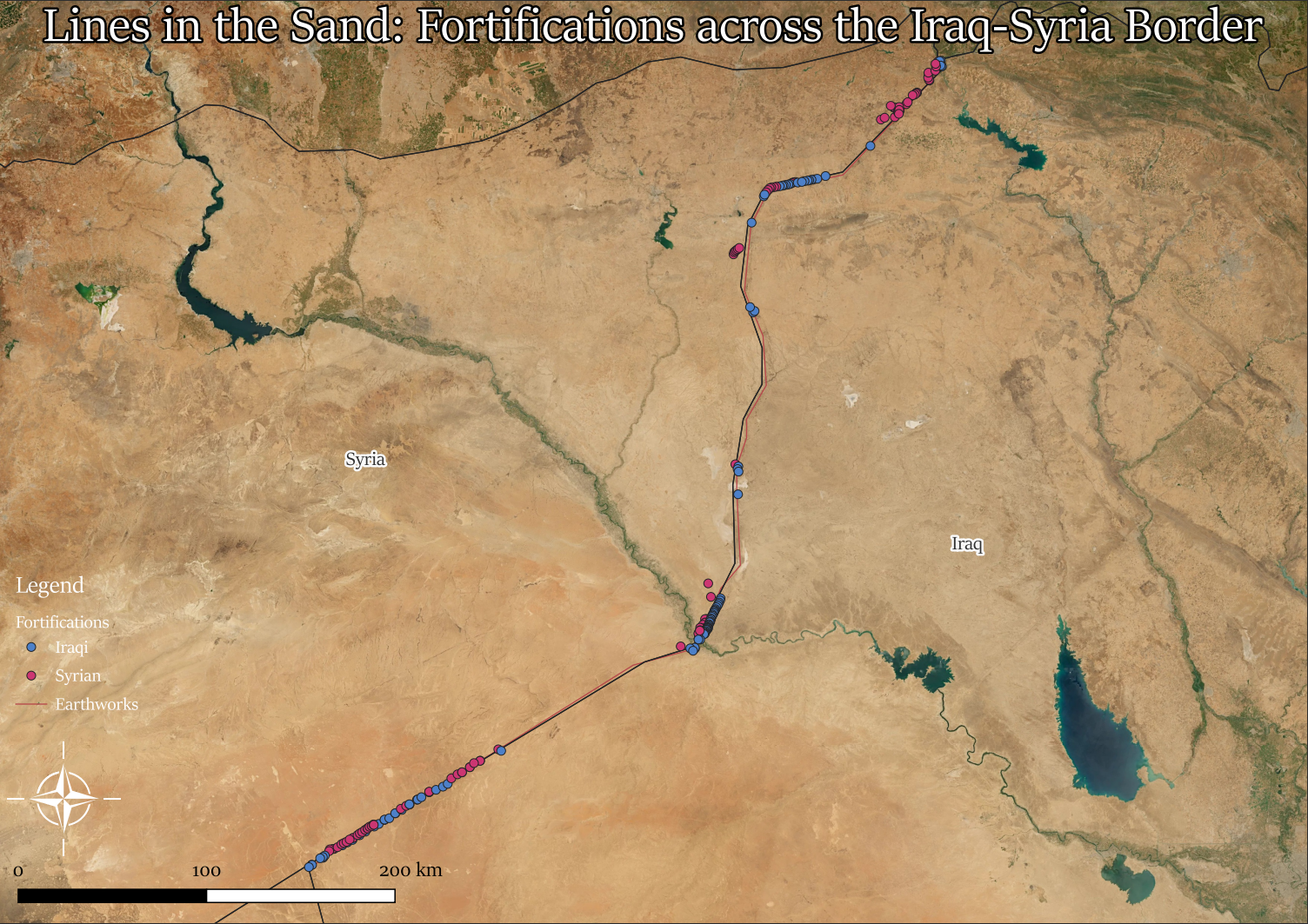
Lines in the Sand
We're all aware of the Sykes-Picot agreement made between the French and British diplomats in 1916. This partitioning of the Ottoman Empire wound up with what would become the border between Syria and Iraq. While there are virutally no natural barriers between these two countries, the ensuing century would culminate in border trenches, fences, guard posts, and checkpoints.
I found this out by poking around on google earth (as I occasionally like to do). I first noticed a burned out base on the border, and upon zooming in realized the lines extending along the border were actually trench systems along both sides. So I opened up QGIS, pulled up the QMS tool, and used that to search the border region for military installations. This didn't yield a full result, so I followed that up with a manual search, dropping a line along the trench systems. Turns out it follows the entirety of the Iraq-Syria border!

