Flathead Lake
In September of 2020, with the world literally burning around us, two of my friends and I loaded up our dogs into an RV and drove up to Glacier National Park. We stayed within walking distance of Flathead Lake, a remnant of the ancient Lake Missoula. The water was frigid, clear, and enchanting to say the least.
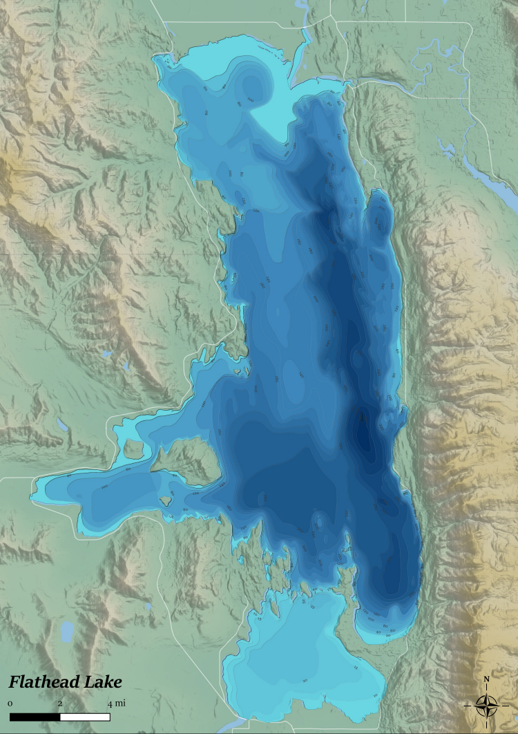
Upon return, I wanted to make a map to commemorate as well as a bathymetry raster for my friend to play around with on his new CNC machine. To my surprise, there are plenty of vector bathymetry datasets out there all stemming from the same source. But no rasters I could find, so I made my own!
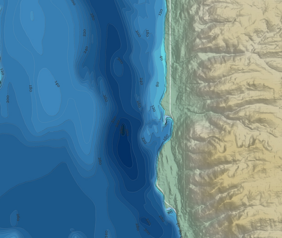
Our Swimming Spot

In order to do this, I first downloaded the vector file and pulled it into QGIS. The vector-to-raster function didn't work because there were unfortunate gaps in the lines. So I exported the vector as an image, which I then brought into GIMP. This is where the artisinal bit comes in as I had to manually close gaps using color matching to keep the right depth information. After a few hours of sometimes pixel-by-pixel work, I had a raster that I could bring back into QGIS, set the depth levels to their accompanying color maps, and load in all of the beautiful surroundings.
Now, this admittedly doesn't have the full cartographic checklist. It's missing a legend and some polish. One day I'll get around to putting those together, but for now it makes for a pretty poster of one of my favorite places.
The Final Product

